
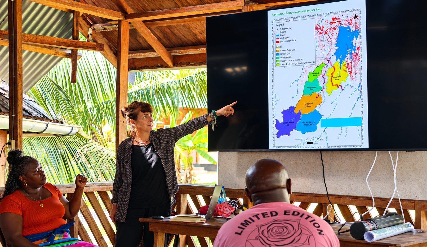
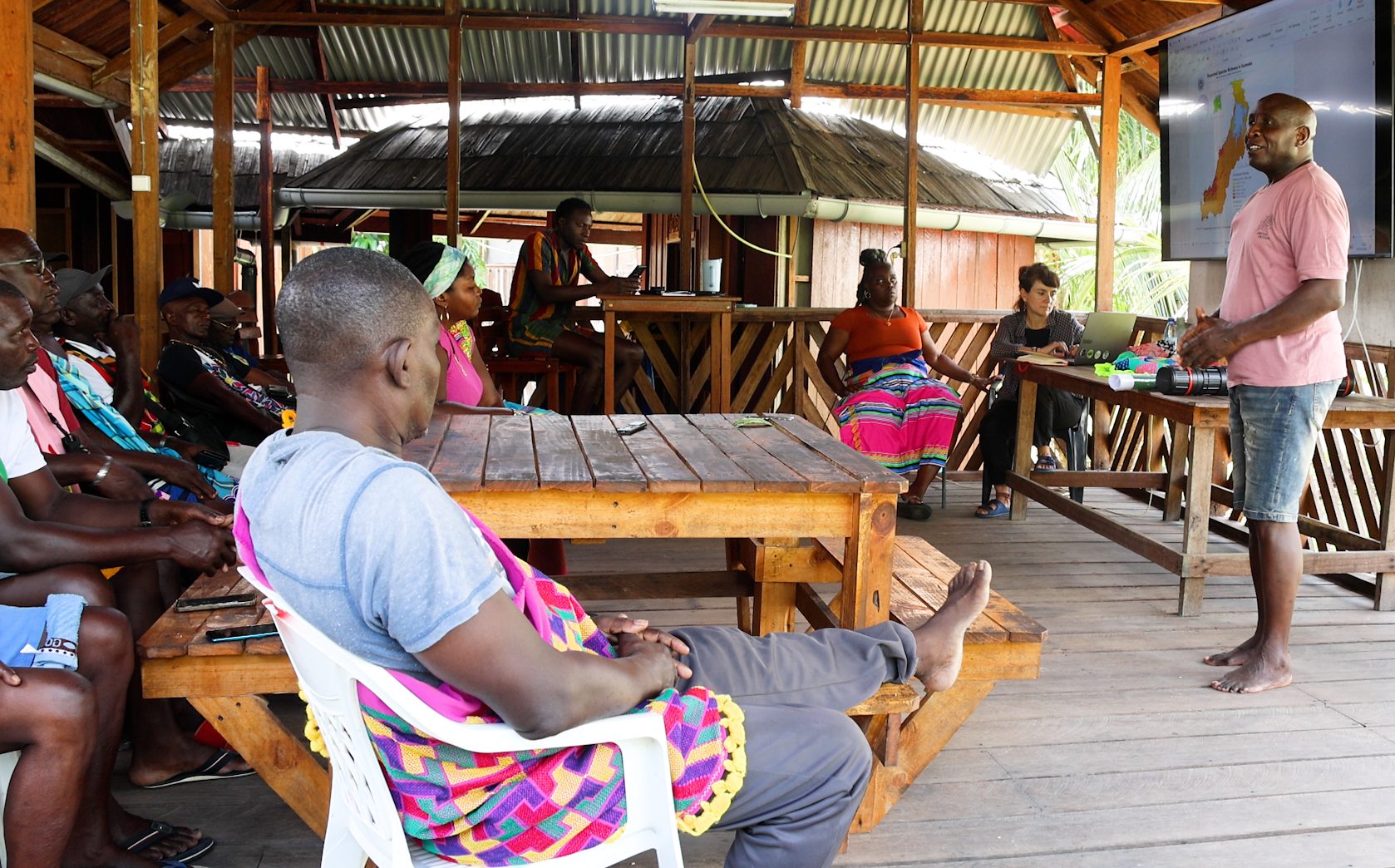
The Saamaka area is one of Suriname’s regions with exceptional natural wealth and biodiversity. As part of the Tyubi di Matu project, new research findings were presented to the project’s leaders, providing deeper insight into the area’s size, biodiversity, wetlands, and the vital role of its forests.
According to the information presented, he Saamaka area covers more than 1 million hectares and may extend to nearly 1.5 million hectares. About 80 percent of the area is estimated to be forest. The research looked at plants, crops, mammals, reptiles, and amphibians. Suno Go, Sonu Kumutu, and Langu were identified as areas with particularly rich biodiversity.
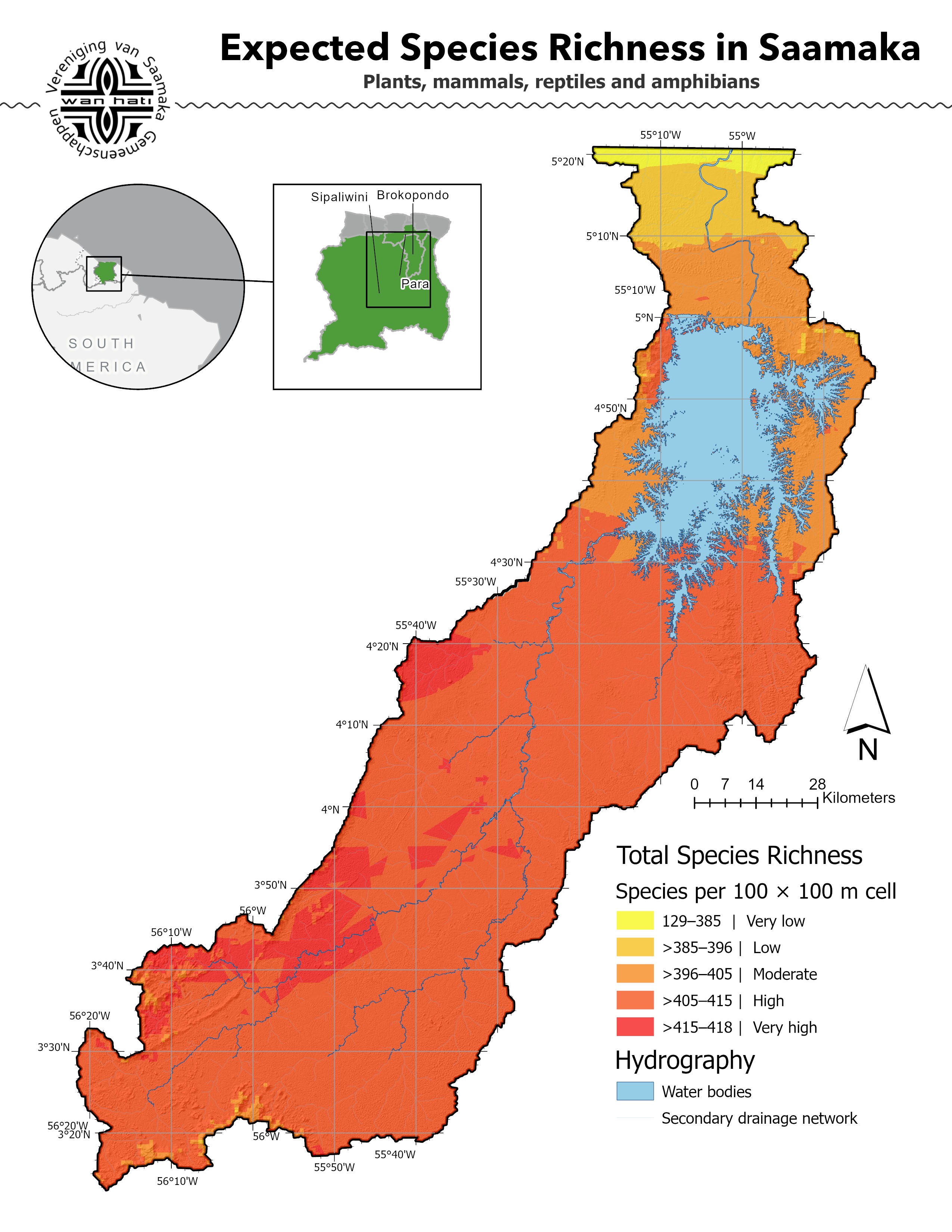
The map highlights the area’s total species richness, water bodies, and secondary drainage network.
More needed then only satellite images
Satellite images were used to study and map the large area. However, the presentation explained that satellite images alone are not enough to fully understand what is happening on the ground. Therefore, the VSG is also considering research on-site. They plan to visit different parts of the area to see what activities are taking place and to identify where deforestation and gold mining are happening. Helicopters may be used to reach areas that are difficult to access.
More than 5,000 kilometers of water.
Water also plays an important role within the Saamaka region. According to the presented data, there are more than 5,000 kilometers of waterways and creeks. In addition, various creeks have been mapped along with their names. The soil in the area is rocky in many places. As a result, the soil’s ability to store groundwater is limited. Consequently, Saamaka communities remain largely dependent on rainwater.
Forest as natural carbon storage
The Saamaka forest is important not only for its biodiversity, but also for its role in absorbing and storing CO₂. This makes the forest valuable for climate protection and potentially for carbon-credit programs. Forests absorb CO₂ from the air and store carbon in trees, plants, the soil, and other organic material. As a result, forests play an important role in counteracting the increase of CO₂ in the atmosphere. During the presentation, a percentage of 86 percent was mentioned for the carbon uptake or carbon storage of the Saamaka area. Exactly what this percentage means and what it is based on needs to be clarified further. In any case, it does not automatically mean that 86 percent of the area can be sold. Additional calculations and agreements are required for any carbon credits or other forms of economic valuation.
Information for the future
The collected data should help to gain a better understanding of the natural resources of the Saamaka area. One of the main goals is to have a clearer understanding by the end of 2026 of which areas are primary forest and which are secondary forest. Additionally, the information can be used to protect and preserve the habitat of the Saamaka communities.